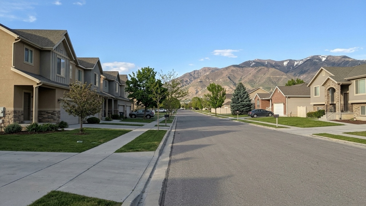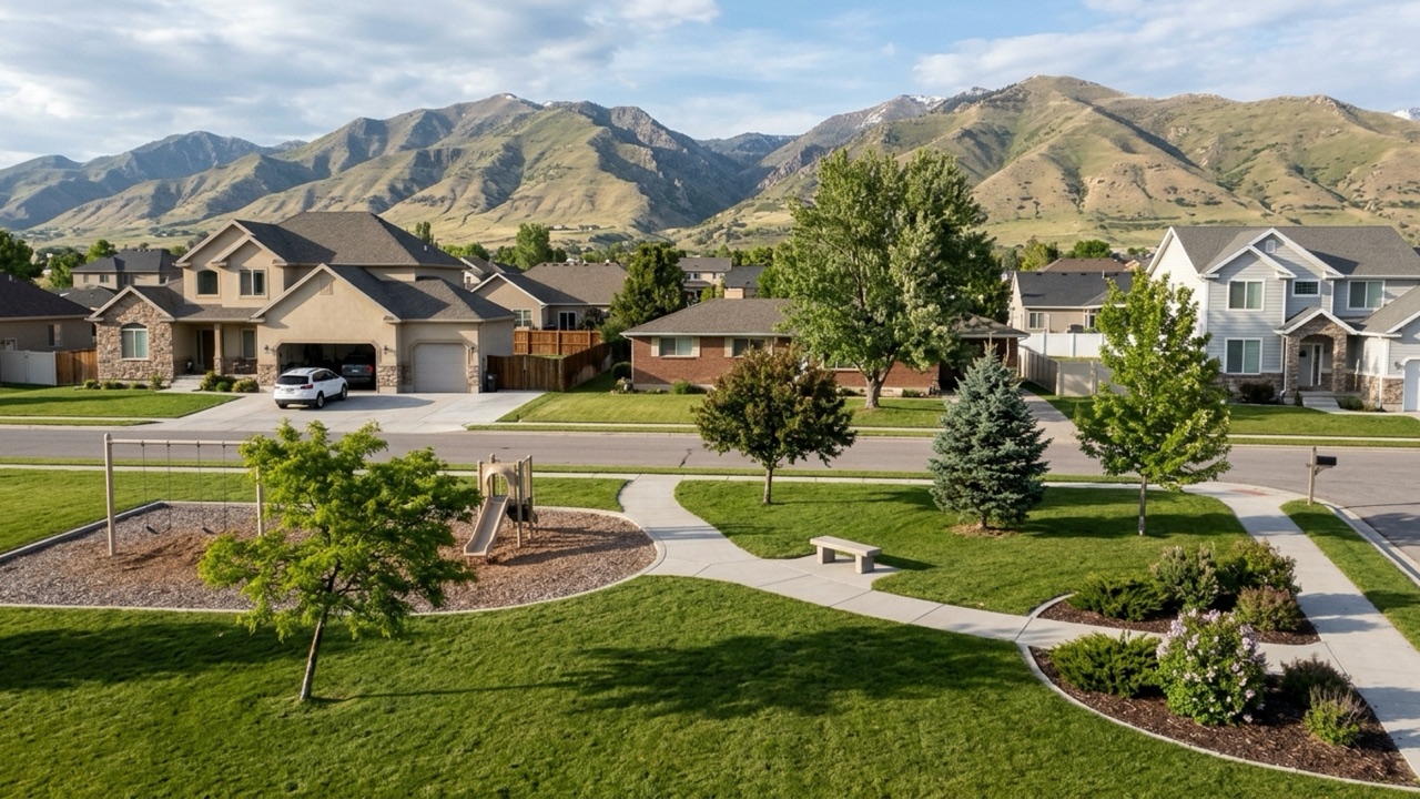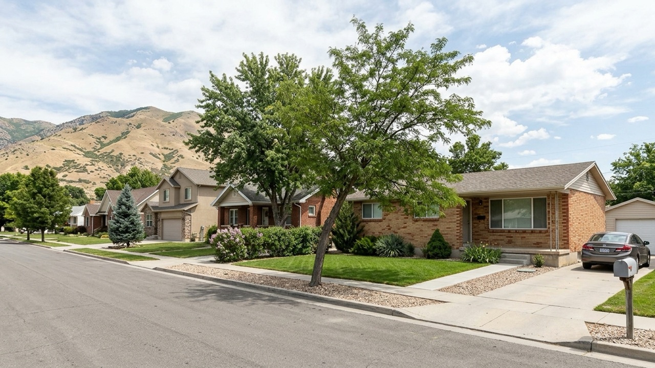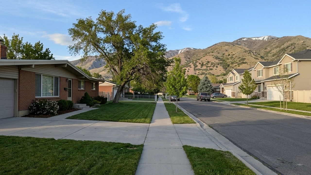
Magna sits at the west end of the Salt Lake Valley, wedged between the Oquirrh Mountains and the Great Salt Lake. That geography is the whole story: you're on the edge of the metro, and figuring out your daily travel routine before you buy here matters more than it would in a neighborhood closer to the center.
Commuting from this side of the valley means leaning on a few major highways to reach jobs in downtown Salt Lake City or the tech hubs to the south. How those roads move during rush hour, and what transit exists, will shape where in the city you should be looking.
Key Takeaway
Plan on a car in Magna: most daily trips run east on SR-201 toward Salt Lake City or south on the Mountain View Corridor. UTA buses link to the TRAX network if you want car-free days. If you're buying, test a home's rush-hour drive before you offer. Townhouses sold for a median $393,005 (based on 24 sales, 90 days ending 2026-09-30), which can leave room in your budget for a second vehicle.
Who This Guide Is For
You're considering a home in Magna and want to know how commutes, airport runs, and errands will work from there before you commit.
The Reality of Driving in Magna
Getting around Magna is essentially a two-road decision: SR-201 east toward Salt Lake City and the Mountain View Corridor south. The practical way to approach buying here is to test your specific rush-hour route before making an offer, not after.
Magna's townhouse market gives you the time to do that. Townhouses recently spent a median 92 days on market, compared to 50 days for single-family homes (based on 24 townhouse sales, 90 days ending 2026-09-30). You can read more about the pros and cons of living in Magna to see how this fits into the broader lifestyle picture.
Before you start touring, it's worth asking yourself a few things. Does your daily commute head east toward Salt Lake City or south toward the Jordans and Utah County? Could you manage without a car on at least some days? Would a lower townhouse price cover a second vehicle for your household? And how much time do you realistically have before you need to submit an offer?
Main Routes in and Out of the City
Most trips filter onto a handful of specific highways and surface streets. Knowing which one your neighborhood feeds into will define your morning. UDOT has ongoing projects on several of these routes, including restriping and safety upgrades on SR-85 near the SR-201 westbound off-ramp.
SR-201 (21st South Freeway)
This is the primary route east toward I-215, I-15, and downtown Salt Lake City. Known locally as the 21st South Freeway, it's where most commutes heading toward the center of the valley begin.
The problem is that it's the one freeway heading east, so a slowdown or crash at a merge leaves you without an easy freeway alternative. Drive it at your real commute hour before you commit to a home.
Mountain View Corridor (SR-85)
This north-south route runs along the west side of the valley toward West Jordan, South Jordan, and Utah County. It's what matters most for south-valley and Lehi-area jobs. UDOT is advancing Phase 2 toward a full freeway, but parts of the corridor still run as a signalized road in the meantime.
Where it's still at-grade, traffic signals and ongoing construction make travel times less predictable than the freeway map suggests.
I-215 Belt Route
You reach the belt route via SR-201. It connects the area to the airport side of the valley and down to the south valley without pushing you through downtown. The catch: the SR-201 and I-215 interchange is a heavy merge point at peak hours. Time it both ways before you buy.
Local East-West Streets
Surface streets like 3500 South (SR-171) and the roads around historic Main Street handle errands and short hops to West Valley City. They're also the surface-street backup when the highway jams. You can check our schools and services page for local destinations and school locations.
Surface streets mean traffic signals and school-zone speeds. Note any rail crossings on your route that could delay a morning drive.
Drive Times to Common Destinations
Map apps give you a baseline, but real drive times depend on your departure hour. Heavy traffic or weather will move these numbers. Here's a look at a few common trips.
Magna to Salt Lake City International Airport
Commercial distance calculators put the driving distance at about 11 miles, with a drive time of roughly 15 to 18 minutes via SR-201 and I-215. It's a relevant number for frequent flyers and airport workers.
Early-morning and evening peaks at the I-215 merge can stretch that. Test it at your usual flight times.
Magna to Lehi and Utah County
Driving south to Lehi covers approximately 35 to 36 miles and takes about 38 to 41 minutes, running via the Mountain View Corridor for roughly 14 miles before connecting toward I-15 into Lehi. This is the main path for Silicon Slopes jobs, and construction phases on the corridor can shift those times from year to year.
Magna to the Great Salt Lake and Saltair
Great Salt Lake State Park is about 5.6 miles from the center of town. The Great Saltair concert venue sits adjacent to the park, roughly 1.5 to 1.6 miles away. It's a quick weekend outing that most of the valley has to drive much farther for. There's no transit out there, so it's a car-only trip.
Public Transit Options and Routes
Most residents drive, but the Utah Transit Authority (UTA) does run service to the west side. Fares run $2.50 for a standard local one-way trip, with daily caps in place. Since the town sits at the edge of the valley, using transit often means a transfer or a short drive to a park-and-ride lot.
UTA Bus Routes Serving Magna
UTA Route 35 (3500 South) is the primary fixed bus route serving the area, running east to Millcreek Station. UTA's recent five-year service plan also proposed a new Route 31 connecting to the Central Pointe TRAX Station. That's the backbone for anyone going car-light.
Frequency and evening or weekend service may be limited. Look up the schedule for the stop nearest the home you're considering.
Getting to TRAX from Magna
There's no TRAX rail station within Magna's limits. UTA's planning materials identify the Central Pointe TRAX Station as the rail connection point for the proposed Route 31 bus link. Rail riders from Magna start with a bus or a drive because the line doesn't reach the township.
The transfer adds time and a connection you can miss. You'll need to weigh total door-to-door time against simply driving.
Park and Ride Near Magna
The nearest TRAX-area park-and-ride lot along the former 3500 South corridor is the UTA Park and Ride at 5527 West 3500 South (5600 West Station). It gives downtown commuters a way to skip city parking costs. You still need a car for the first leg. It saves parking money and downtown stress, not vehicle ownership costs.
UTA On Demand, Paratransit and Senior Rides
UTA On Demand microtransit currently operates in six zones system-wide, but official materials don't explicitly list Magna inside a current zone boundary. Specific ADA paratransit eligibility criteria for the west Salt Lake County area weren't listed on the main service page either.
Service zones have hard edges, and paratransit requires an eligibility application first. Confirm your specific address is inside the coverage area before counting on it.
Can You Get by Without a Car?
Living here without a car is possible if your routine aligns closely with Route 35, but a household with two drivers will still need at least one vehicle for trips beyond the bus corridor. If your household has two drivers, the one-car question usually comes down to your housing budget and how often you need to leave your immediate neighborhood.
Rideshare and Taxis
Uber and Lyft operate across the Salt Lake area. Rideshare works well for airport runs and nights out, but it's rarely cost-effective for daily commuting. Wait times can be longer at the valley's west edge, and daily use adds up fast. Open the apps from the address you're considering at your morning commute hour to check availability.
Biking Around Magna
Salt Lake County Parks & Recreation maintains several master plans covering the area, including a Magna Regional Park Master Plan and an East West Recreational Trails Master Plan. These outline a network of trails connecting to regional paths from the Wasatch Front to the Oquirrh Mountains.
Getting across SR-201 or the Mountain View Corridor by bike is the hard part, and summer heat on the west side is intense. Ride the route before you count on it for work.
What a Second Car Costs Next to a Townhouse Discount
If you buy a townhouse instead of a single-family home, the price gap might cover a second vehicle. That median is $74,809 below the single-family median (based on 24 townhouse sales over 90 days). For illustration only: AAA's 2026 Your Driving Costs analysis puts the average annual cost to own and operate a new vehicle at $12,863. That price gap could fund several years of driving.
Townhouses usually carry HOA dues that eat into those savings, and some communities restrict parking or extra vehicles. Ask the HOA for current dues and parking rules before you run the math.
How to Check a Magna Home's Commute Before You Buy
Map estimates at noon tell you little about what a Tuesday morning looks like. You need to test the logistics from the exact property. Here's how to evaluate the route before you submit an offer.
Drive the Route at Rush Hour
Do the actual commute from the address on a weekday at your real departure time, both directions. Map estimates at noon tell you little. One test drive is a single data point, so do it at least twice if you can.
Find the Nearest Bus Stop and How Often It Runs
Even if you plan to drive every day, a nearby route is a backup for car repairs and a plus for resale. Use UTA's trip planner from the exact address. A stop nearby doesn't help if the route rarely runs during your travel hours.
Check Planned Road Projects Nearby
Look up UDOT projects near the home, especially Mountain View Corridor phases. Projects can improve a commute in a few years or bring years of construction delays first. New freeway segments can also add noise for homes right alongside them. View the UDOT project map for the street.
Listen for Rail, Highway and Industrial Noise
Visit at different times of day to hear rail, freeway, and industrial activity on the west side. Noise tolerance is personal, and a weekend afternoon showing can hide weekday sounds completely.
Check the Winter Drive
Ask how the street is plowed and whether any hills sit on your route. The Greater Salt Lake Municipal Services District handles township services like street maintenance. Side streets are often plowed after main roads. Ask neighbors or the MSD about plow priority.
Use the Slower Townhouse Market to Test the Commute
Townhouses have 5.5 months of supply versus 3.4 for single-family homes, and 17.3% sold above list versus 28.8% for single-family properties. That typically means time to do these checks and some room to negotiate. Single-family buyers should expect less slack.
With only 24 townhouse sales behind these figures, a single hot listing can move faster than the median suggests. Schedule showings during your commute hours so you can see exactly how the drive feels from each property you're considering.
Magna Home Prices at a Glance
Here's a snapshot of the local market to help you budget. Check our Magna ZIP codes page or the buying a home in Magna guide for more context. This is market information, not financial advice.
- All homes: median sale price $439,041, -0.2% year over year (90 days ending 2026-09-30)
- All homes: 102 homes sold, 62 median days on market, 99.4% sale-to-list, 27% sold above list (90 days ending 2026-09-30)
- All homes: 4.1 months of supply, 136 homes for sale, $225 median price per square foot (90 days ending 2026-09-30)
- Single-family homes: median sale price $467,814, +0.6% year over year, 74 sold (90 days ending 2026-09-30)
- Single-family homes: 50 median days on market, 99.3% sale-to-list, 28.8% sold above list, 3.4 months of supply, 82 for sale, $226 per square foot (90 days ending 2026-09-30)
- Townhouses: median sale price $393,005, -0.2% year over year, based on only 24 sales, so treat as a rough guide (90 days ending 2026-09-30)
- Townhouses: 92 median days on market, 99.5% sale-to-list, 17.3% sold above list, 5.5 months of supply, 43 for sale, $220 per square foot, based on 24 sales (90 days ending 2026-09-30)
Sources
- Redfin: Data Center
- UTA: Route 35 (3500 South)
- UTA: Current Fares
- UTA: UTA On Demand
- UTA: Park and Ride Map
- Travelmath: Drive distance from Magna, UT to SLC
- Mapsof.net: Distance Magna to Lehi
- Hotels.com: Hotels near Saltair Palace
- UDOT: Mountain View Corridor Paving
- Census Reporter: Magna, UT Profile
- AAA: New Vehicle Ownership Costs Hit $12,863 Annually
- Greater Salt Lake Municipal Services District: Magna City
- Wikipedia: Kennecott Garfield Smelter Stack
- Salt Lake County: Parks & Recreation Master Plans
Getting Around Magna FAQs
How Do I Get from Magna, UT to Salt Lake City?
Driving takes roughly 15 to 18 minutes via SR-201, though that's to the airport area; downtown is slightly further east along the same route. For transit, take UTA Route 35 to Millcreek Station, or connect to the Central Pointe TRAX Station via bus.
How Much Does the UTA Bus Cost from Magna?
As of 2026, UTA's standard local bus and TRAX one-way fare is $2.50, with a $5 day pass. Monthly paper passes ended in April 2026 and were replaced by FAREPAY Card fare capping, which limits regular local fares to $5 a day and $20 a week. Check with UTA to see if you qualify for reduced fares.
Is Magna, Utah Walkable?
It depends on your exact street, and walkability varies widely, especially near historic Main Street. Walk from the address you're considering to the nearest grocery store and bus stop to see how practical errands are on foot.
How Long Is the Average Commute from Magna?
Census data puts the mean travel time to work at 23.8 minutes. Test-drive the route from your specific address during rush hour.
How Do You Get from the Salt Lake City Airport to Magna Without a Car?
A rideshare app or taxi gets you there directly. For public transit, you'll need to take a bus to a TRAX station: UTA Route 35 runs between Magna and Millcreek Station, and proposed Route 31 connects to the Central Pointe TRAX Station. Plan the exact trip in UTA's online planner for your arrival time.
Is Magna, Utah a City?
Yes, it officially became a city on May 1, 2024, after operating as a metro township since 2017. The Greater Salt Lake Municipal Services District still provides its administrative and public services, which is who you call for street maintenance and snow plowing.
Where Is Magna, Utah Located?
It sits at the west end of the Salt Lake Valley in Salt Lake County, between the Oquirrh Mountains and the Great Salt Lake's south shore. The city uses the single ZIP code 84044.
What Is Magna, Utah Known For?
The area is known for its mining-town roots, historic Main Street, and the nearby Kennecott Garfield Smelter Stack. That stack is 1,215 feet tall, making it the tallest free-standing structure west of the Mississippi River, and drivers across the valley use it to orient themselves.
Market figures are approximate and change frequently. For current numbers on a specific home, talk with Abril.